Garmin India · official partnerSealed retail carton, full India warrantyPrepaid, GST invoice
Cycling Computer · 6 min · Field brief
A field brief on the Edge flagship, from out-and-back highway to a Sunday gravel loop.
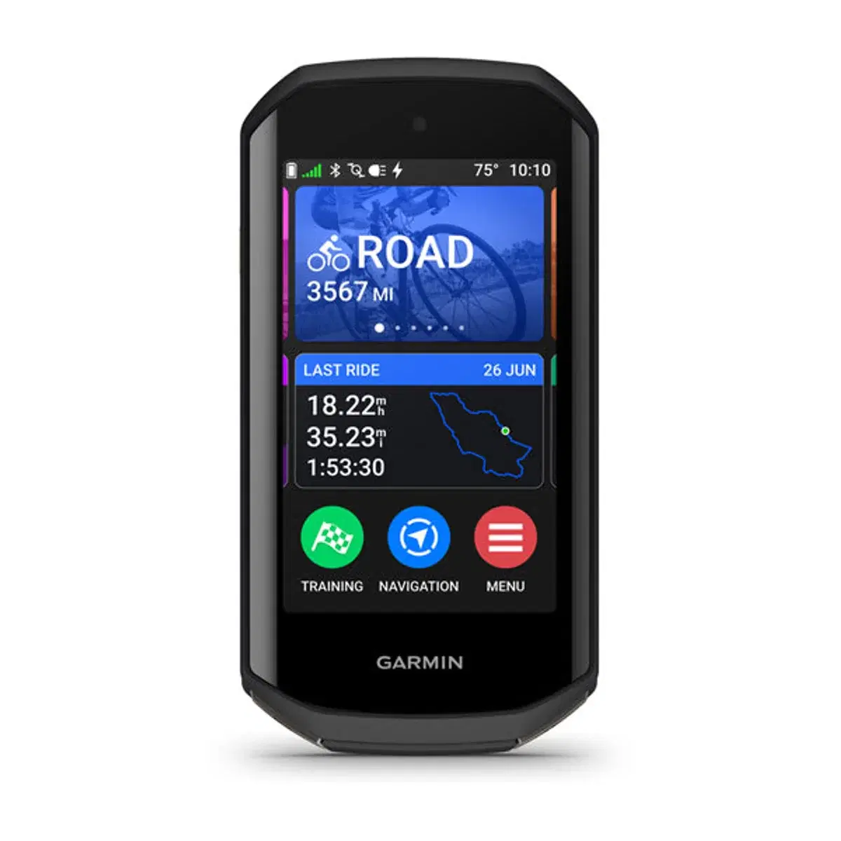
The Edge 1050 was tested over two months on the routes that define Indian road and gravel cycling — Bengaluru–Mysuru highway, the Channapatna climb, weekend Nandi Hills repeats, and Sahyadri trail loops in early monsoon. This brief covers what the 1050 actually does on those rides.
Who it is for
Audience — Road cyclists chasing brevet times, gravel riders mapping new state-highway shoulders, MTBers running CTS or Decathlon trail loops, indoor athletes with a Tacx Neo on the trainer.
Positioning — Garmin's cycling flagship. Same chip family as Forerunner 965 + fēnix 8 Pro; cycling-first UI; the only Edge with a touch screen this readable in noon Indian sun.
From the field
Group Ride Radar pings the rear when a truck closes within 140 m. The screen shows direction + distance, not just a generic warning. Road-hazard alerts surface community-reported potholes 250 m before you reach them — useful on the Channapatna stretch where the surface deteriorates.
ClimbPro shows the next ascent with a gradient profile, distance, and elevation remaining. On Vidurashwatha hill the screen reads the gradient out as 7%, 9%, 10% in colour bands. You pace the effort against the bars, not the leg burn.
Touchscreen handles wet gloves with a finger swipe, not a tap. Mount survives a fork-pedal scratch on the rocky descent. TopoActive maps draw the singletrack you saw on Strava heatmaps.
ANT+ pairs to the Tacx Neo, the Stages dual-sided power meter, and the Wahoo Tickr in the same session. Targeted intervals trigger structured-workout alerts without phone tethering.
The numbers
Keep it alive
The apps that extend it
Garmin Connect
Ride sync, training load, route library, FTP test history.
Connect IQ
Live segments, custom data fields, ride profile mods.
Garmin Cycle Map
Popularity-based routing — picks the streets cyclists actually ride.
Strava Live Segments
Real-time PR/KOM tracking on starred segments.